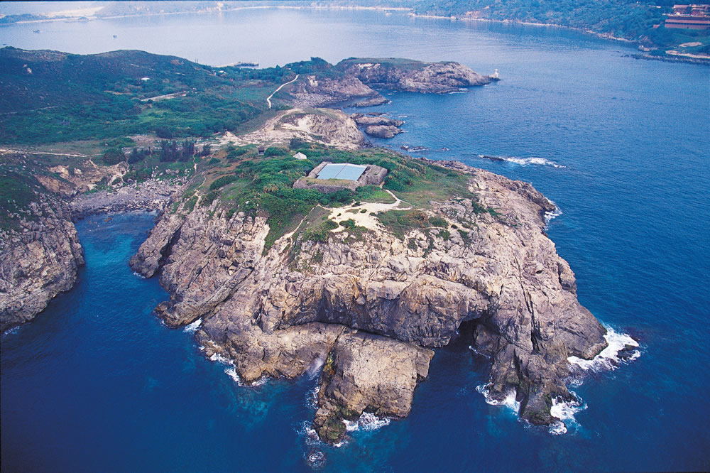
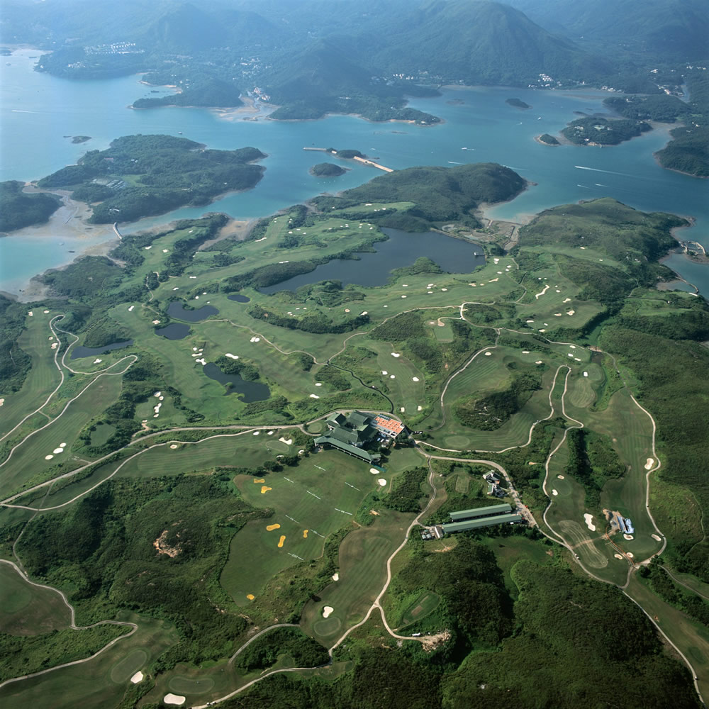
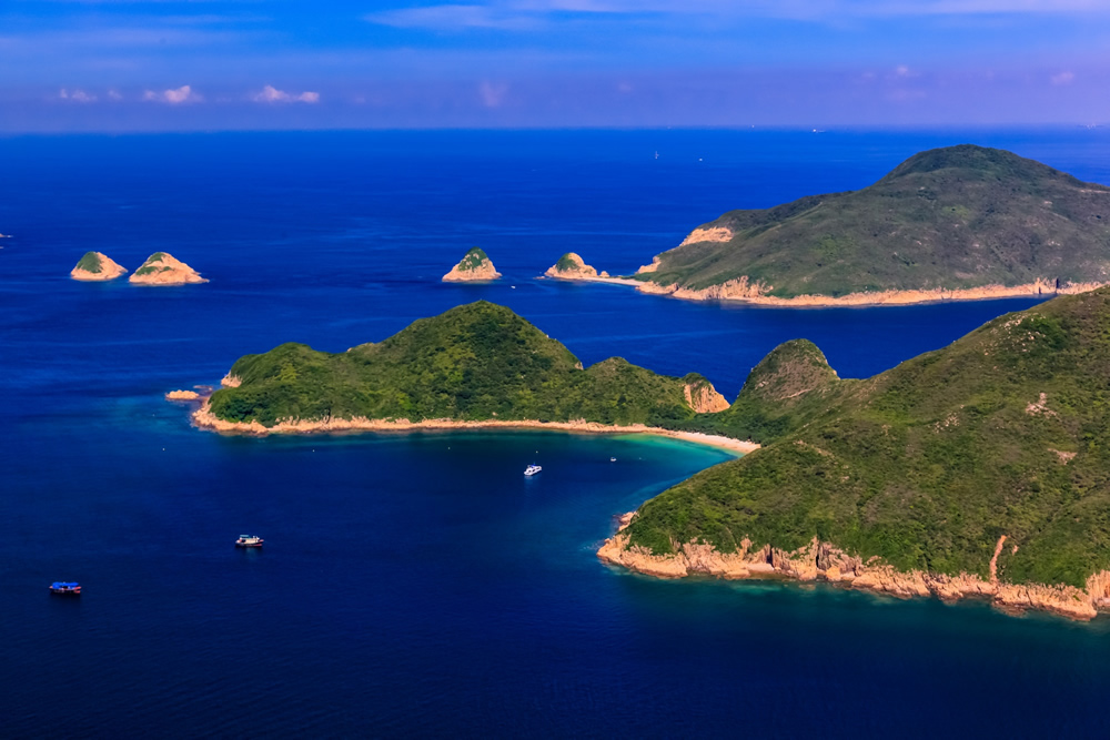
Tung Lung Chau is an island off the southern tip of Clear Water Bay Peninsula.
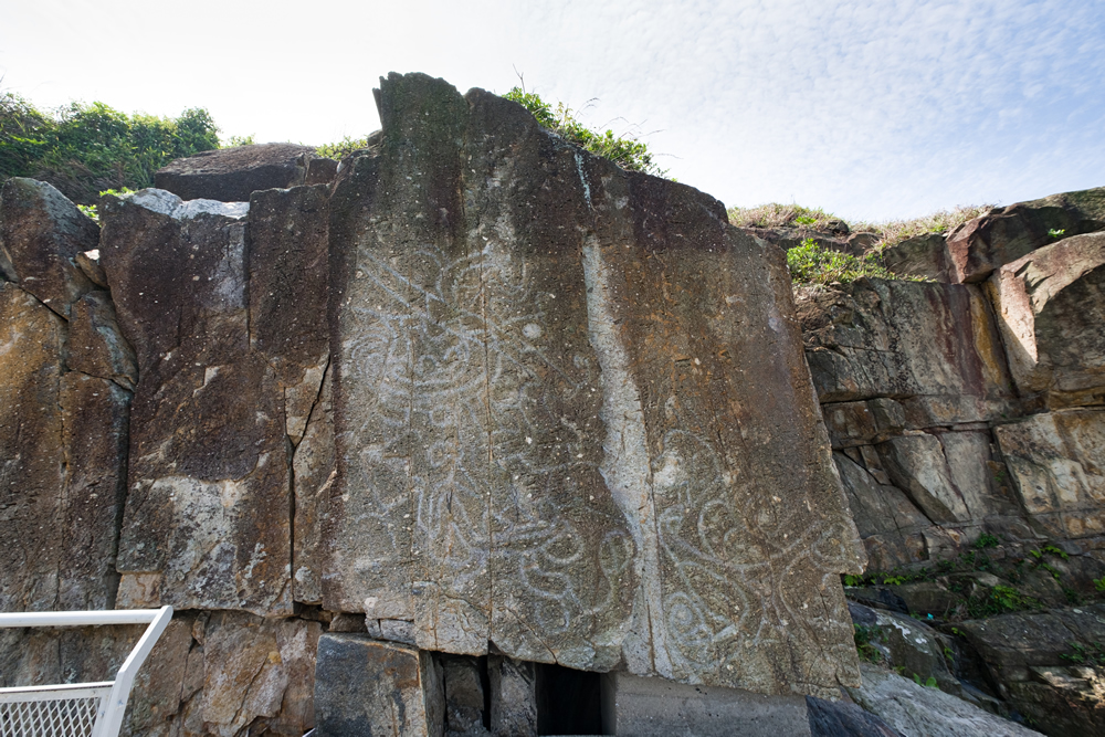
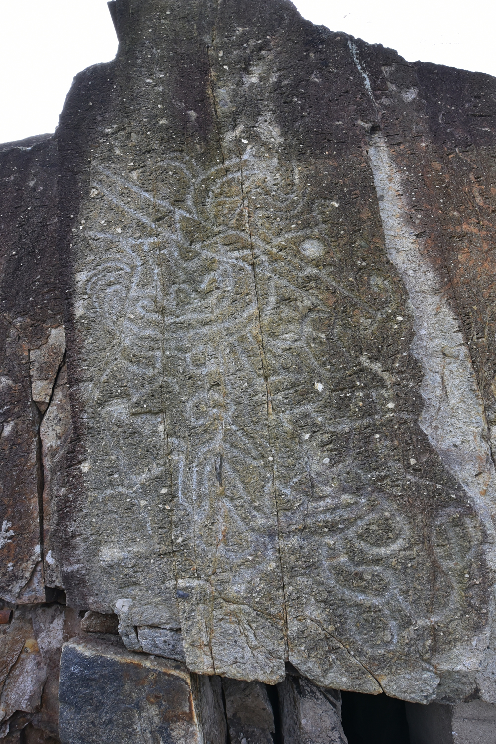
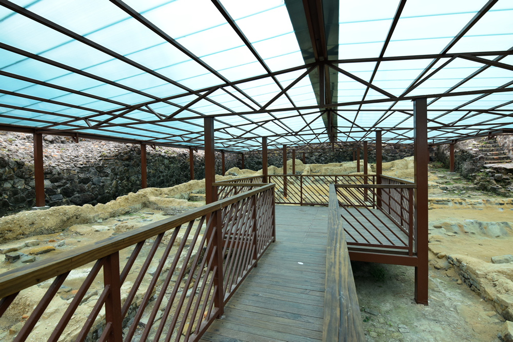
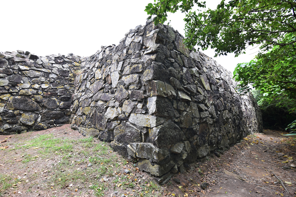
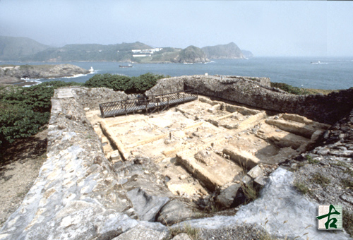
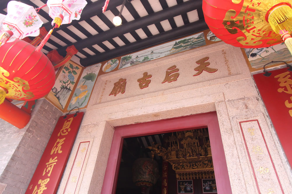
Tung Lung Fort at the northeastern nib of the small island guarding against the pirates in the past evidenced Tung Lung Chau’s previous strategic military position. On the northwestern side of Tung Lung Chau lies the earliest recorded and largest in-situ rock carving in Hong Kong, measuring 1.8 m by 2.4 m. The rock carving and Tung Lung Fort were declared monuments in 1979 and 1980 respectively.
 Transport
Tung Lung Chau is not accessible by public transport. You may arrange your own vessel.
The information provided in this website is for reference only, and is subject to change in accordance with the announcement of relevant Departments or organisations. The Government does not make any express or implied warranty as to the accuracy, adequacy, reliability or timeliness in relation to such contents, and will not be liable for any errors in, or omissions from any such information. Before planning your journey, please pay attention to the latest announcements of relevant departments or agencies, or contact them for enquiries of the latest opening status and opening hours of the attractions.
.jpg)
.jpg)
.jpg)
.jpg)
__2_1661745315.jpg)


_1661822584.jpg)
.jpg)
.jpg)
.jpg)