__2_(4).jpg?=1785299473)
__1_(1).jpg?=1785299473)
__3_(3).jpg?=1785299473)
__4_(2).jpg?=1785299473)
__5_(5).jpg?=1785299473)
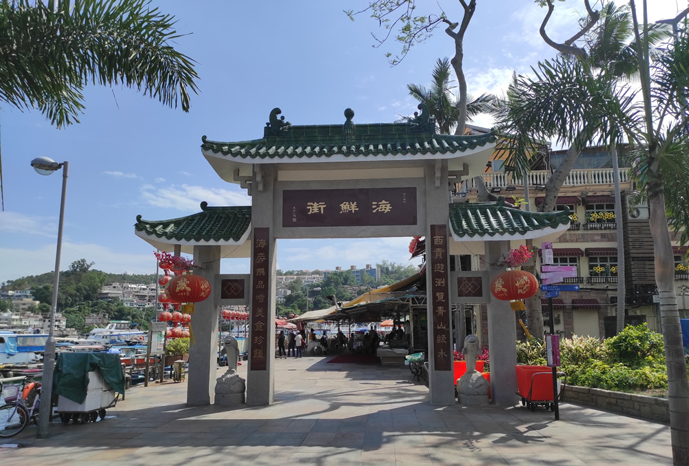
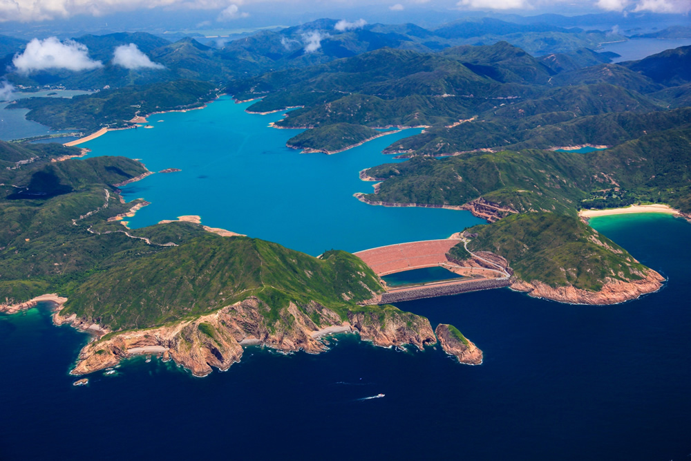
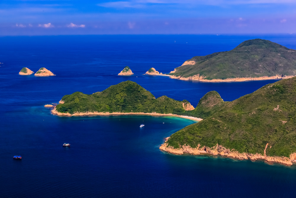
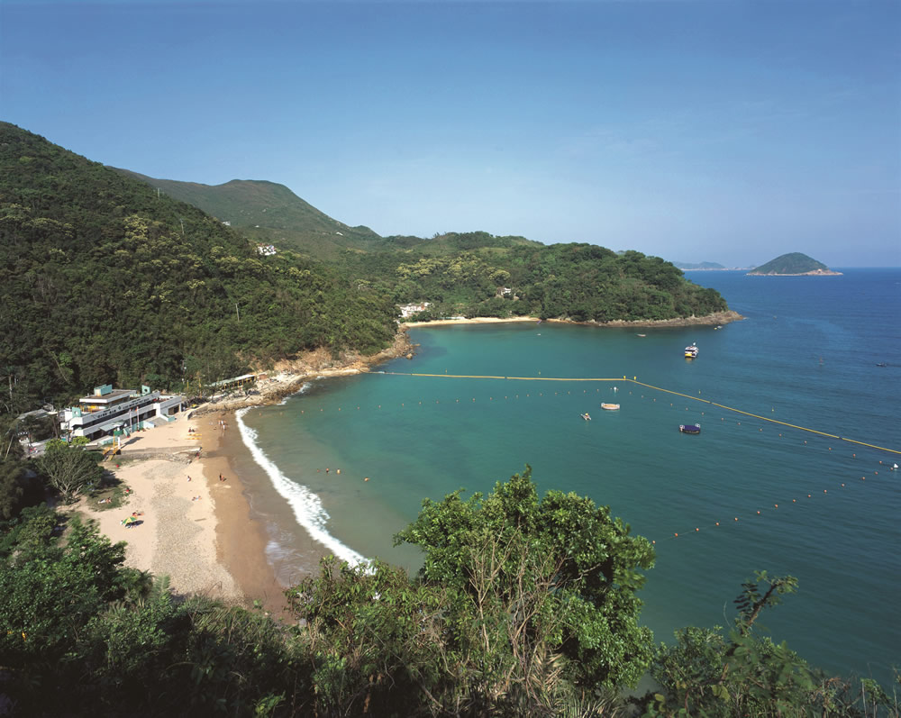
Sharp Island, also known as Kiu Tsui, is situated in Port Shelter of Sai Kung and opposite to Sai Kung Town Centre by 2 km. It is one of the geosites of the Hong Kong UNESCO Global Park lying within the Sai Kung Volcanic Rock Region. The island and 7 other islands nearby form Kiu Tsui Country Park.
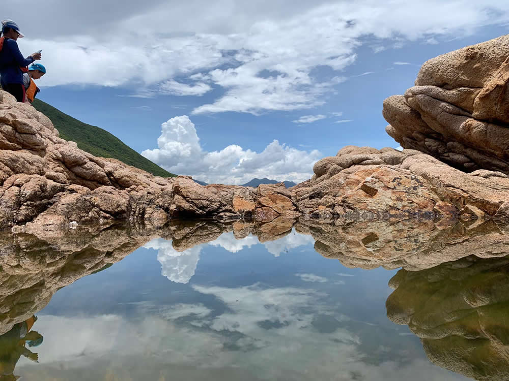
Sharp Island is a lovely island of great natural beauty and geoheritage. Begins at the beach, the Sharp Island Geo Trail stretches across a tombolo towards the opposite islet, Kiu Tau. The tombolo is a 200 m natural sand levee made up of sediments transported and deposited by wind and waves, appearing above water only at low tide. Scattered on the beaches of the tombolo are dozens of quartz monzonite boulders. Weathered and eroded to different degrees, these boulders have unique “pineapple bun”-like cracks.
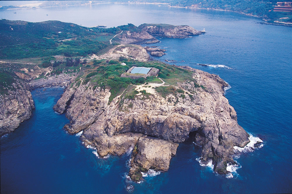
Sharp Island has 2 beaches, namely Kiu Tsui Beach and Hap Mun Bay (Half Moon Bay) Beach, both offering barbeque pits, changing rooms, etc. There are also coral sites on both the eastern and western sides of the island, dominated by fragile coral species such as Pavona sp. and Platygyra sp.
 Transport
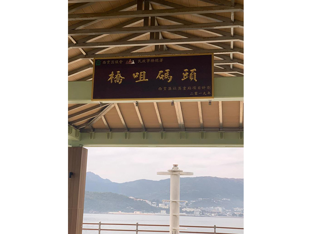
Sharp Island is not accessible by public transport. You may arrange your own vessel.
The information provided in this website is for reference only, and is subject to change in accordance with the announcement of relevant Departments or organisations. The Government does not make any express or implied warranty as to the accuracy, adequacy, reliability or timeliness in relation to such contents, and will not be liable for any errors in, or omissions from any such information. Before planning your journey, please pay attention to the latest announcements of relevant departments or agencies, or contact them for enquiries of the latest opening status and opening hours of the attractions.
.jpg)
.jpg)
.jpg)
.jpg)
__2_1661745315.jpg)
_1661822584.jpg)
.jpg)
.jpg)
.jpg)