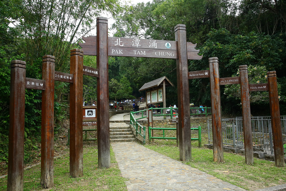
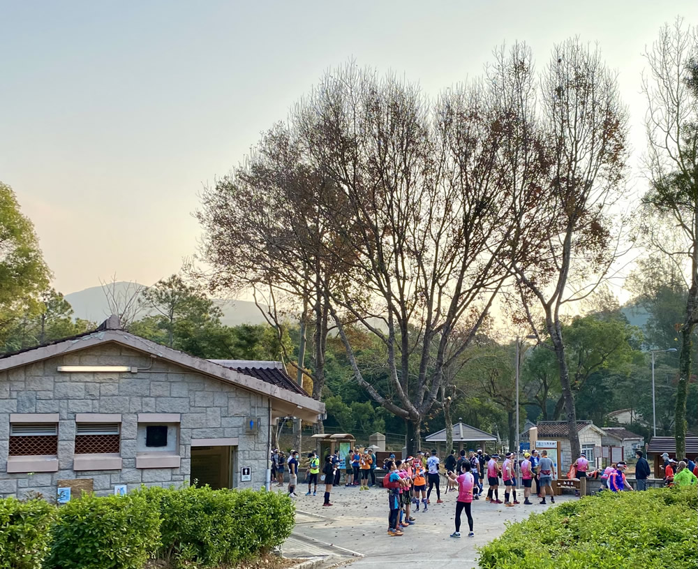
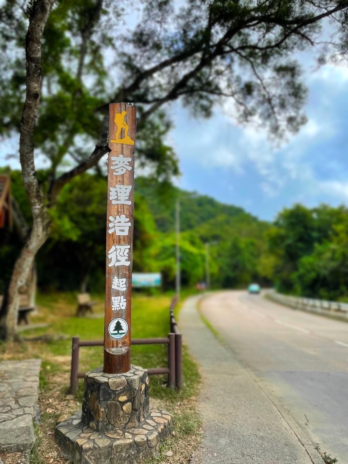
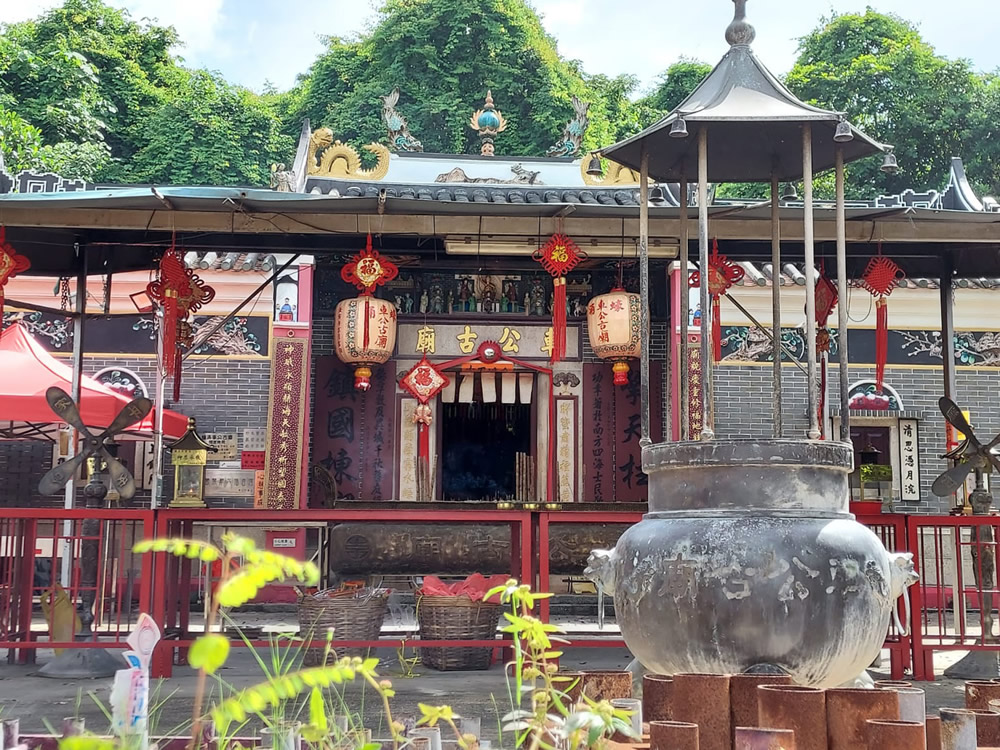
Situated at the east of Tai Tun, Pak Tam Chung stands the Sai Kung Country Park Visitor Centre, and is also the starting point of 2 famous hiking trails - Pak Tam Chung Nature Trail and MacLehose Trail.
Along the 1-km Pak Tam Chung Nature Trail that starts at Tai Mong Tsai Road, Pak Tam Chung and ends at the entrance to the Sheung Yiu Family Walk, hikers may observe the mud banks and mangroves, and pass through Sheung Yiu Folk Museum.
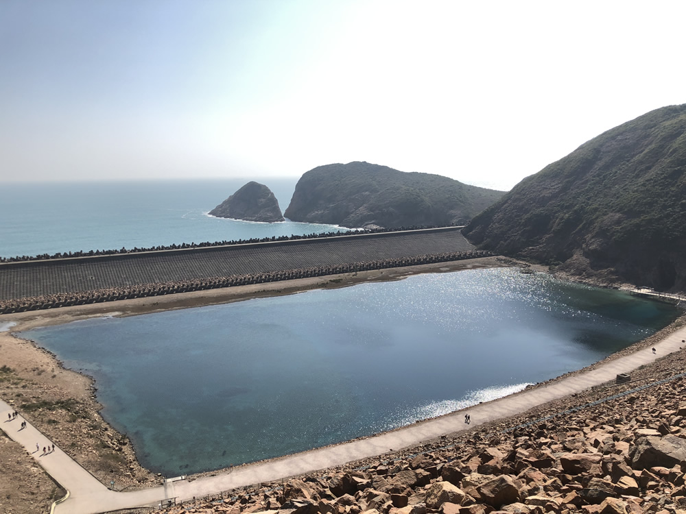
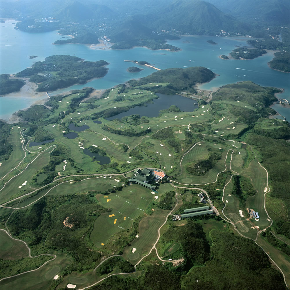
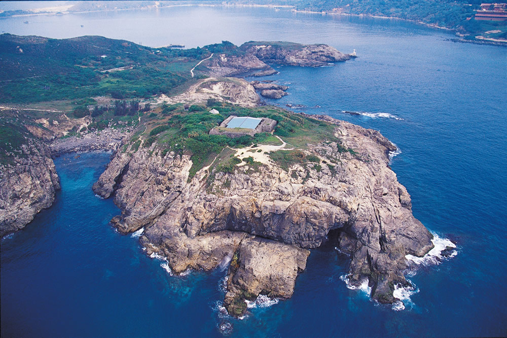
The 100-km MacLehose Trail is the 1st long-distance hiking trail in Hong Kong. It starts at Pak Tam Chung in Sai Kung, traversing 8 country parks from east to west, and ends at Tuen Mun. The Trail is divided into 10 sections, with the following 4 sections run through Sai Kung District:
| Start Point | End Point | |
| Section 1 | Pak Tam Chung | Long Ke |
| Section 2 | Long Ke | Pak Tam Au |
| Section 3 | Pak Tam Au | Kei Ling Ha |
| Section 4 | Kei Ling Ha | Tate's Cairn |
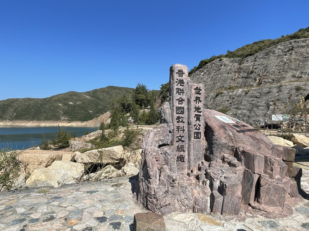
Each section of the Trail embraces unique magnificent natural scenery making it having been named as one of the “World’s 20 Dream Trails” by the National Geographic magazine.
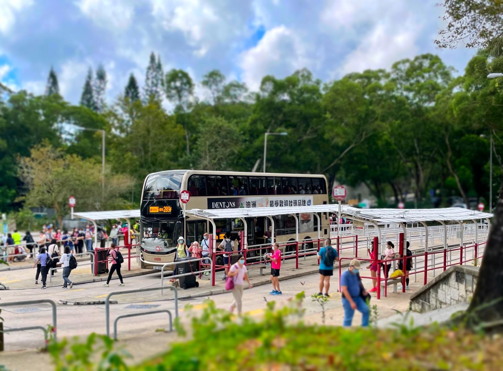
 Transport
- To plan your journey to Pak Tam Chung, visit the "HKeMobility" website (https://www.hkemobility.gov.hk) or mobile application developed by the Transport Department, insert your starting point and “Pak Tam Chung Bus Terminus” as the destination to search for routes of different transportation mode. Alternatively, you may click the relevant location pin in the Google Map below and then click the “Journey” button.
- To plan your journey to the MacLehose Trail, you may refer to the following information:
- Long Ke and Tate’s Cairn are not accessible by public transport. To plan your journey, you may visit the website below for information.
Long Ke: https://www.hiking.gov.hk/trail/info/id/d0pFSWc1N1dWdkh3aStSajBvUHlmUT09
Tate’s Cairn: https://www.hiking.gov.hk/trail/info/id/aWhDRVFZbmpET0pMazRxdWhhU0hIUT09
- To plan your journey to Pak Tam Au or Kei Ling Ha, visit the "HKeMobility" website (https://www.hkemobility.gov.hk) or mobile application developed by the Transport Department, insert your starting point and the relevant place as the destination to search for routes of different transportation mode.
Pak Tam Au - insert “Pak Tam Au” as the destination.
Kei Ling Ha - insert “Sai Sha Road, Near Shui Long Wo” as the destination.
Alternatively, you may click the relevant location pin in the Google Map below and then click the “Journey” button.
The information provided in this website is for reference only, and is subject to change in accordance with the announcement of relevant Departments or organisations. The Government does not make any express or implied warranty as to the accuracy, adequacy, reliability or timeliness in relation to such contents, and will not be liable for any errors in, or omissions from any such information. Before planning your journey, please pay attention to the latest announcements of relevant departments or agencies, or contact them for enquiries of the latest opening status and opening hours of the attractions.
.jpg)
.jpg)

.jpg)
.jpg)
__2_1661745315.jpg)


_1661822584.jpg)
.jpg)
.jpg)
.jpg)