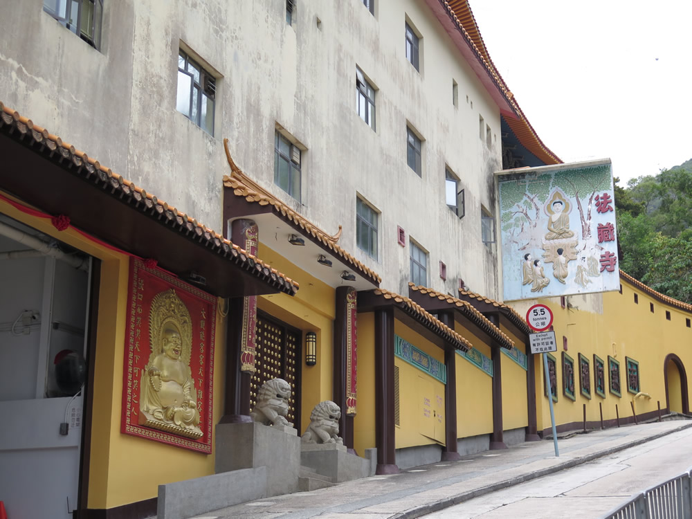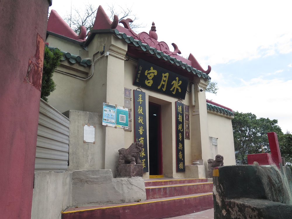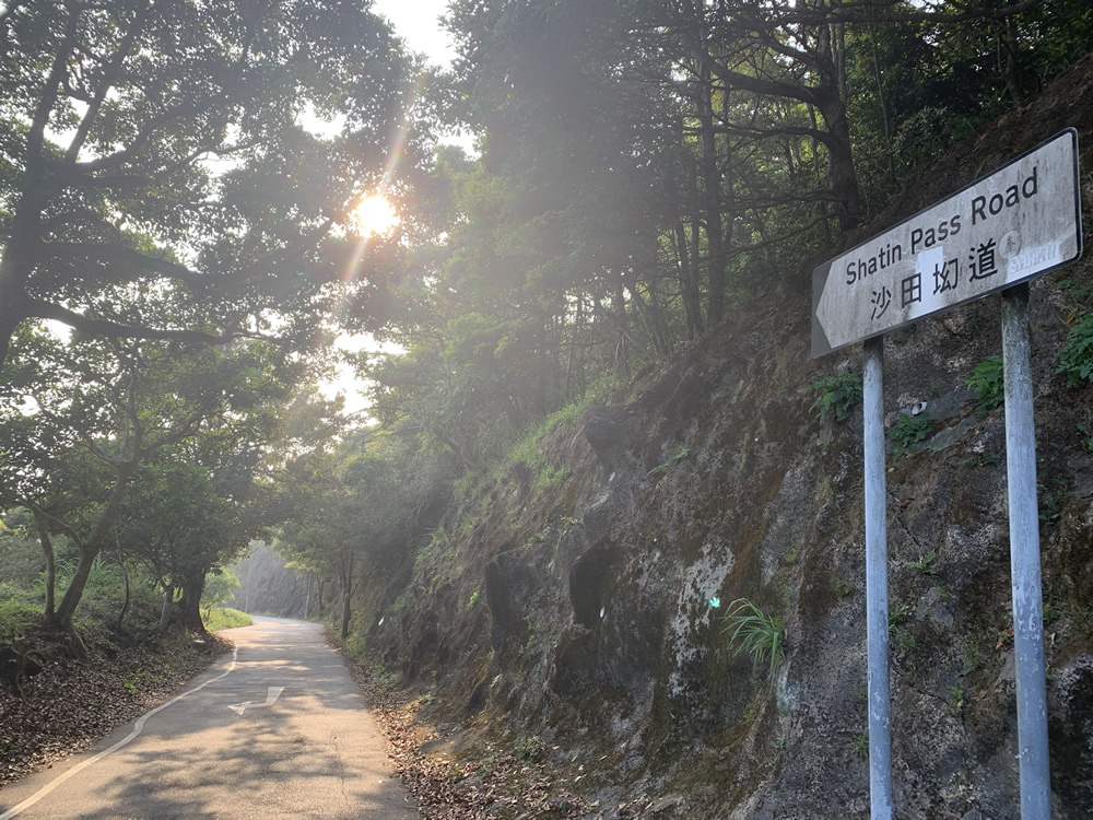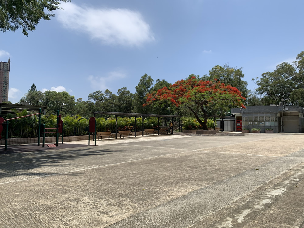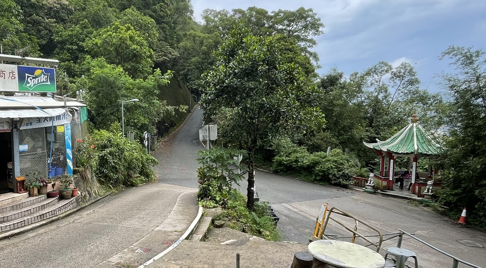

Shatin Pass Road (Hiking Trail), with a length of about 7 km, starts near Choi Hung Road and ends at its junction with Jat’s Incline and Fei Ngo Shan Road. It meets Section 5 of the Wilson Trail and part of it overlaps with both Section 4 of the Wilson Trail and Section 5 of the MacLehose Trail. Visitors can enjoy the marvelous views on the journey via Kwun Yum Temple and Lover’s Rock and Treasure Reflection Rock behind it in Tsz Wan Shan and the Shatin Pass Lion Pavilion. At Jat’s Incline Parking Viewpoint where the hiking trail meets Jat's Incline, visitors will have a panoramic view of Kowloon Peninsula, Lei Yue Mun, the Victoria Harbour and Hong Kong Island.
 Transport
To plan your journey to Shatin Pass Road (Hiking Trail), visit the "HKeMobility" website (https://www.hkemobility.gov.hk) or mobile application developed by the Transport Department, insert your starting point and " 121 Choi Hung Road " or “ Shatin Pass Road " as the destination to search for routes of different transportation mode. Alternatively, you may click the relevant location pin in the Google Map below and then click the “Journey” button.
The information provided in this website is for reference only, and is subject to change in accordance with the announcement of relevant Departments or organisations. The Government does not make any express or implied warranty as to the accuracy, adequacy, reliability or timeliness in relation to such contents, and will not be liable for any errors in, or omissions from any such information. Before planning your journey, please pay attention to the latest announcements of relevant departments or agencies, or contact them for enquiries of the latest opening status and opening hours of the attractions.