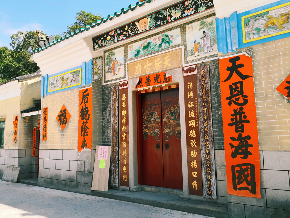
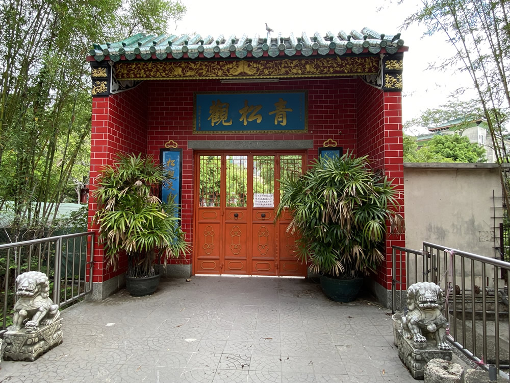
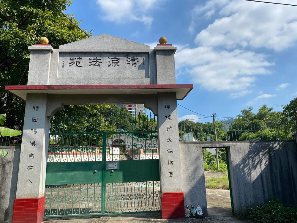
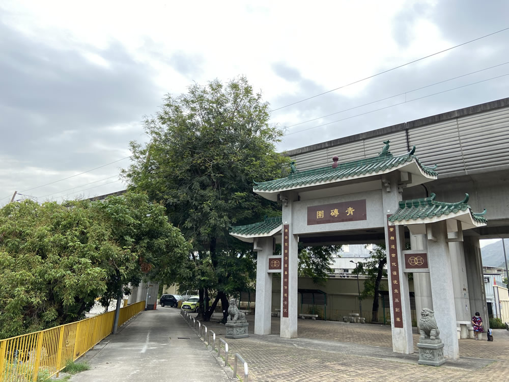
Tsing Chuen Wai at Lam Tei in Tuen Mun was previous named “Mak Yuen Wai” (literally meaning “Wheat Field Walled Village”). Its present name came from the fact that the enclosure walls were made of grey bricks. Tsing Chuen Wai is mainly populated by the To clan. The only surviving portion of the original grey-brick boundary wall at the main entrance, Tin Hau Temple and the ancestral hall in the village give a glimpse of the past life of the walled village.
 Transport
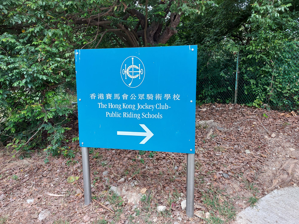
To plan your journey to Tsing Chuen Wai, visit the "HKeMobility" website (https://www.hkemobility.gov.hk) or mobile application developed by the Transport Department, and insert your starting point to search for routes of different transportation mode. Alternatively, you may click the “Journey” button in the Google Map below.
The information provided in this website is for reference only, and is subject to change in accordance with the announcement of relevant Departments or organisations. The Government does not make any express or implied warranty as to the accuracy, adequacy, reliability or timeliness in relation to such contents, and will not be liable for any errors in, or omissions from any such information. Before planning your journey, please pay attention to the latest announcements of relevant departments or agencies, or contact them for enquiries of the latest opening status and opening hours of the attractions.